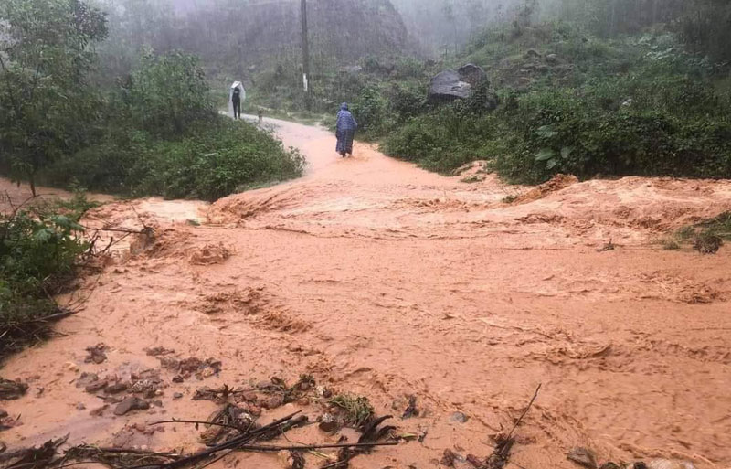
Risk of flash floods and landslides in the central mountainous region and the Central Highlands.
At 1 am this morning, March 31, the low pressure area is located at about 12.0-13.0 degrees north latitude; 109.5-110.5 degrees east longitude. The low pressure area becomes more active and tends to move towards the mainland of our country.
Due to the influence of the circulation in the low pressure area analyzed above, after combining with the strong cold air, from March 31 to April 2, there will be moderate rain, heavy rain and thunderstorms in the Central region and Central Highlands. , there are places where it rains very heavily.
During thunderstorms, there is a possibility of tornadoes, lightning, hail and strong winds. Risk of flash floods, landslides in mountainous areas and local flooding in low-lying, low-lying areas, along rivers. Warning level of natural disaster risk due to heavy rain, whirlwind, lightning, hail: level 1.
At sea, due to the influence of the low pressure area, on the day and night of March 31, in the sea from Quang Tri to Ca Mau; the western sea of the north and middle of the East Sea (including the Hoang Sa archipelago) has showers and thunderstorms. During thunderstorms, there is a possibility of tornadoes and strong gusts of wind at level 7-8.