Saltwater intrusion along the Vam Co River in Tay Ninh Province is becoming increasingly complex.
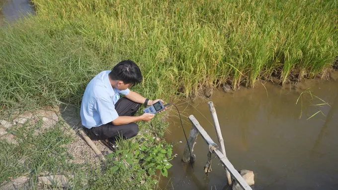
According to the Tay Ninh Provincial Hydro-Meteorological Station on January 20, saltwater intrusion in the province has become increasingly complex.
Over the past week, peak salinity levels recorded at most monitoring stations along rivers in Tay Ninh were comparable to or higher than those during the same period in 2025 and exceeded multi-year averages. Notably, along the Vam Co River section passing through Can Duoc Commune, the 4g/l salinity boundary has penetrated approximately 30 kilometers inland. In several stretches through Vam Co and Thuan My communes, the 1g/l salinity boundary has extended about 35 kilometers inland.
In the coming days, water levels at monitoring stations are forecast to continue rising through midweek before gradually receding with the tide. The highest salinity levels are expected mainly at the beginning of the week. In particular, at Cau Noi Station, salinity could peak at 10.9‰ on January 23. The 4g/l salinity boundary is projected to advance as far as 45 kilometers inland along the Vam Co River through Can Duoc, Thuan My, and Vam Co communes. Meanwhile, the 1g/l salinity boundary could intrude 60–65 kilometers inland along both the Vam Co Dong and Vam Co Tay rivers.
Given the situation, specialized agencies have issued a Level 1 disaster risk warning for saltwater intrusion. Can Duoc Commune is expected to face particular difficulties in accessing fresh water, even during low tide. Other areas such as Tam Vu, My Le, and Tan Tru may be able to take advantage of lower salinity levels to collect fresh water between January 24 and 31.
Residents in affected areas are therefore urged to closely monitor updates on saltwater intrusion and proactively store fresh water to minimize potential damage to daily life and production activities.